
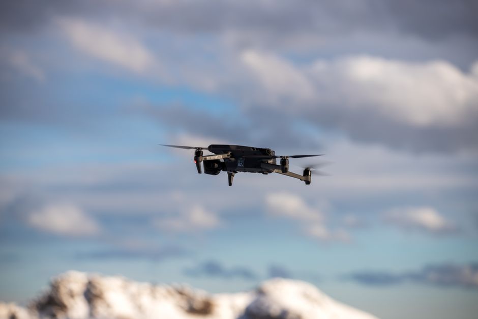
Precision mapping from the air has changed how industries manage land, infrastructure, and security. Whether for utility inspection, environmental surveys, or surveillance, selecting the right drone determines the accuracy and efficiency of every mapping project. Understanding what sets the best drones for aerial mapping apart helps professionals make reliable choices for high-value tasks.
Flight stability and advanced navigation
Stability in flight is crucial for collecting sharp, consistent data. The best drones for aerial mapping come equipped with multi-axis gimbals and sensors that correct in real time for wind or rapid movements. These commercial drones often feature GPS and GLONASS support, enabling them to hold precise positions and follow complex pre-programmed flight paths. This accuracy is especially important for drone inspection tasks over long linear assets like pipelines or power lines, where even slight deviations can affect the final map quality.
High-resolution imaging systems
For mapping and inspection work, image quality directly impacts results. Advanced mapping drones integrate high-resolution cameras, often 20 megapixels or more, that can capture fine details from significant altitudes. Some models offer interchangeable payloads, allowing operators to switch between standard RGB sensors, multispectral cameras for crop analysis, or thermal imaging for utility inspection. This versatility gives teams the right tool for anything from construction surveying to drone security applications.
Long endurance and range
Surveying large areas requires drones to fly longer and cover greater distances without interruption. Top-tier commercial drones typically offer flight times ranging from 40 to over 60 minutes on a single charge. Extended range controllers, sometimes supported by 4G or 5G connectivity, let operators maintain control and receive live data even when the drone is kilometers away. This capability is a major asset during surveillance drone operations or when mapping remote, inaccessible regions.
Robust data management and integration
Efficient data collection is just the beginning. The best mapping drones support seamless integration with GIS platforms and cloud-based software. They record accurate metadata like geotags and altitude for each image, streamlining the process of turning drone footage into actionable maps. Advanced drones also offer encrypted data links or secure on-board storage, addressing privacy and security needs for sensitive projects.
Choosing between UAVs and drones for different tasks
The terms “UAV” and “drone” are sometimes used interchangeably, but in the context of aerial mapping, UAVs often refer to more sophisticated, professional-grade systems. When comparing uav vs drone for commercial mapping, UAVs are generally built for longer endurance, higher payload flexibility, and compliance with aviation regulations. This distinction matters for organizations planning large-scale mapping initiatives or who require advanced automation and redundancy features.
Where to find professional-grade mapping drones
For industry professionals seeking reliable platforms, Acecore’s flagship drones represent a strong example of the engineering and performance required for demanding mapping and inspection missions. Their customizable payload options and focus on flight stability make them a preferred choice for utility and security applications where precision is paramount.
Next steps for selecting your mapping solution
The right mapping drone depends on your specific needs, from payload type to endurance and data integration. To take the next step, assess your project’s scale and technical requirements, then compare available models against those criteria. For a deeper dive into choosing specialized equipment, consult a guide on drone inspection solutions or explore recent case studies highlighting high-precision mapping projects.